Naysa Shrivastava, Pune
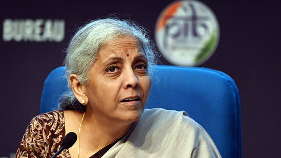
During her budget speech, Finance Minister Nirmala Sitharaman declared a digital survey to be conducted in 400 districts and digital public infrastructure (DPI) will be used to perform the survey. The aim is to register the details of 60 million farmers in land and farmer registries. “Our government, with the partnership of the state, will facilitate the execution of Digital Public Infrastructure(DPI) in agriculture for coverage of farmers and their lands in the time span of three years. For 400 districts, a digital crop survey will be conducted for Kharif crops using DPI. The information of 6 crores farmers will be registered in the farmer and land registries,” said Sitharaman to Indian Express.
The agriculture DPI relies on the AgriStack portal, which develops a combined registry of the farmers present into the country along with each allocated a different farmer ID based on an Aadhaar card. The farmland plot data will be linked to this registry. The registries will be taken in consideration by the central and state government for generating schemes and benefits and to develop and provide funds. It helps the farmers to acquire cheaper credits and access to the market. The plots will get geofenced and the photos of the geofenced plots will get geotagged. The portal helps in identifying the amount requirements of fertilisers and water needed for the crop.
In Maharashtra same survey is ongoing, the MahaFPC, Farmers Producers Company of the state, decided to work on a project to geofence and geo-survey tur crops of 1,390 farmers. The data collection will make it easier for the farmers and the FPCs to comprehend the condition of the crops and set the appropriate selling price of the crop. The managing director of MahaFPC, Yogesh Thorat told Indian Express that 116 member companies joined hands with a Nashik-based startup, which operates on satellite imagery to keep track of crop condition.
The agriculture ministry has taken the initiative for DCS (Digital Crop Survey) and released Android apps to collect data related to farms and farmers. Krishi Mapper is for organising surveys, information regarding farmers caste, land measurements and geo-plotting, Digital Crop Survey UP, designed for the surveyors, General Crop Estimation Survey (GCES) is aimed to collect data from the allotted plots, including plot images and crops that are harvested and for soil sample testing, there is an app called Soil Health Cards. DCS can be used by insurance companies and banks for farmer and land details.
